
by Kristen Goodhue

What if satellites could better track the health of Chesapeake Bay rivers and nearshore waters from space? That’s the goal of Chesapeake Water Watch, a participatory science project run for the past four years by the Smithsonian Environmental Research Center (SERC), the City College of New York and NASA. For the first time this summer, the project used its data—roughly 2,500 water samples collected almost entirely by volunteers—to improve satellite observations of the Bay, in a new study.
Satellites have monitored aquatic ecosystems across the globe for over 20 years. They use the water’s changing colors to better understand algal blooms, water clarity and other key environmental health factors. But training those satellites on smaller tributaries and coastal waters like those along the Chesapeake Bay has proven more difficult. Most “ocean color” satellites aren’t high-resolution enough to capture the detailed shifts that happen on the coasts. For satellites that can capture higher-res images, there isn’t always enough data on the ground to cross-check their findings.
“High resolution satellite images from space offer a unique and captivating perspective of these highly dynamic waters—a powerful tool to continuously monitor their ecological status and integrity,” said Maria Tzortziou, lead author of the study and co-principal investigator of the project, affiliated with CCNY and NASA. ”But we also need eyes on the ground, surface measurements to train our algorithms and ensure satellite data are accurate.”
And the Bay is a complex beast. Algal blooms and sediment runoff fluctuate from place to place, season to season, and in response to extreme events. Scientists knew collecting data from only a few scattered locations and times wouldn’t be enough. To train satellites to capture all the Bay’s subtleties, they needed help. They needed a truly big data project and help from local communities who know their environments.
“It takes a village to train satellites, and that’s what all of us volunteers are doing here together.” – Maria Alejandra Ceballos
Bay Watch
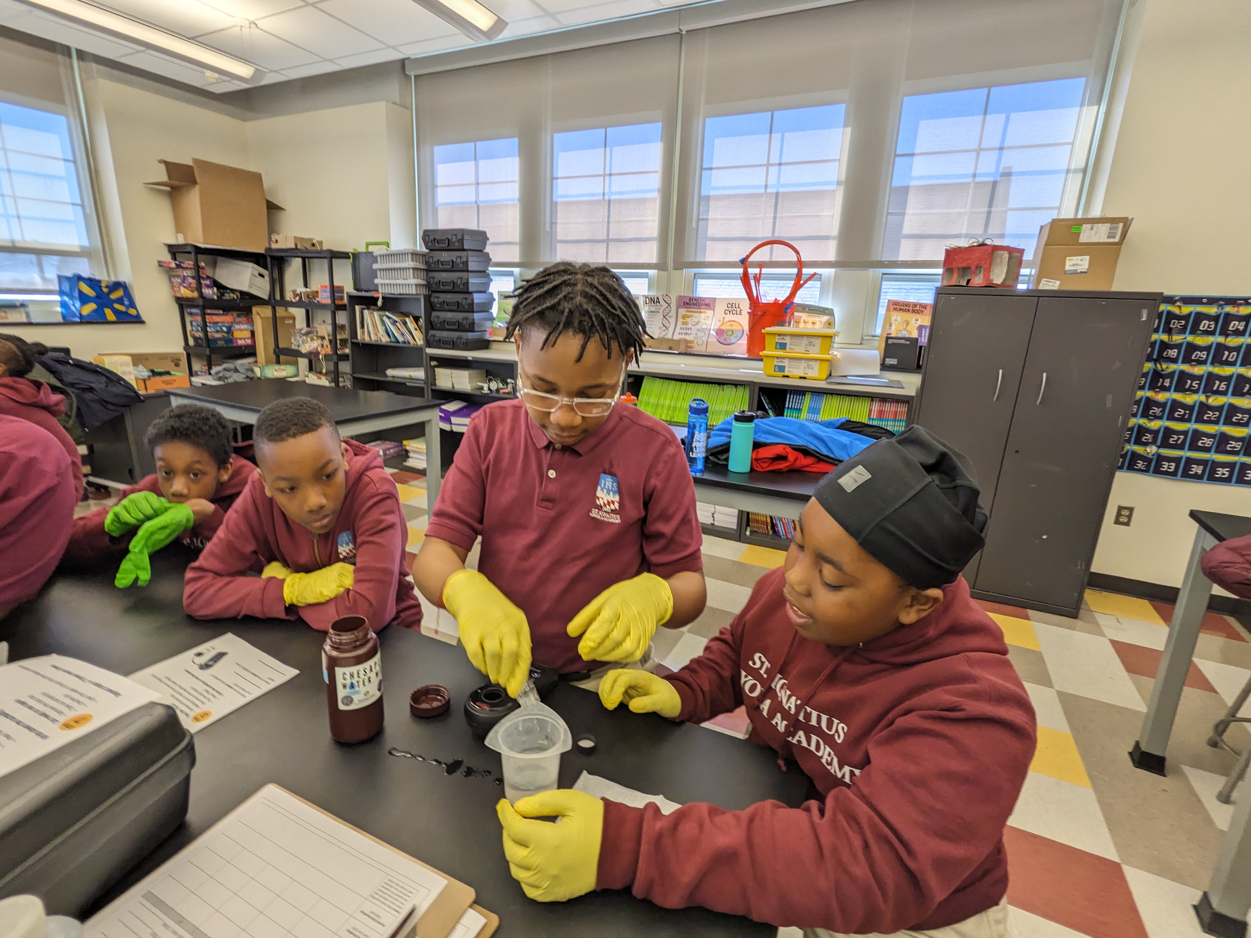
Chesapeake Water Watch was born in summer 2021. It encouraged residents from across the Chesapeake region to help collect water quality data from the Bay or its tributaries. After receiving some initial training, volunteers could participate in two ways: Collect a water sample (ideally at least 100 feet from shore) and send it to SERC, or snap a turbidity estimate using the HydroColor app on their smart phones.
As of this writing, over 230 volunteers have submitted roughly 5,100 observations to the project.
“What’s great about our methods is that they offer a layer of accessibility to scientific research,” said Ray Terracina, the SERC program coordinator for Chesapeake Water Watch. “Some volunteers prefer the simplicity associated with collecting and dropping off a water sample, while others appreciate how HydroColor samples don’t require travel to a drop-off location. Many volunteers do both because they are quick and easy to do.”
“[Chesapeake Water Watch] allows everyone a chance to be part of the ‘big picture’ literally being taken by NASA satellites,” said volunteer Maria Alejandra Ceballos. Ceballos has six sites she monitors for the project. She tries to sample as many as possible on special “double-overpass days,” when two high-resolution satellites pass over the Chesapeake. “It takes a village to train satellites, and that’s what all of us volunteers are doing here together. It is really rather exciting to be part of it.”

Schooling the Satellites
The new study, published August in Nature Scientific Reports, looked at data through May 2024: 2,482 water samples total. It focused on three key water quality indicators: turbidity, algal blooms and colored dissolved organic matter—organic runoff that can turn Bay waters the color of brownish-yellow tea.
The research team took those three years of volunteer data and compared them to what the satellites measured using algorithms previously developed for coastal waters.
In some cases, the satellites were wildly off. They consistently overestimated how much colored dissolved organic matter was in the water. But when the researchers created a new algorithm—one that included more wavelengths (or colors) and was specifically designed for the complex Chesapeake Bay nearshore waters —the satellite estimates matched the volunteer data more closely.
Algal blooms, estimated through chlorophyll-a measurements, proved murkier. Chlorophyll-a in coastal waters is easiest to measure using red light. But one of the study’s high-resolution satellites—Landsat-9—has only one red band. Its estimates consistently fell low, until the team applied a more regional machine-learning model trained using the volunteers’ data. The study’s second satellite—Copernicus Sentinel-2A—has more information in the red part of the spectrum. This meant the team could use an even more precise algorithm for that satellite.
The study also showed that, after applying an appropriate correction for the atmosphere, an algorithm built in 2010 for retrievals of water turbidity was quite robust and aligned closely with volunteer data across a wide range of conditions.
“The volunteers’ measurements provided a rich dataset of water optical properties across numerous Chesapeake Bay tributaries that function as transition zones between freshwater inputs and the main bay,” Tzortziou said. “This dataset was critical to evaluate and train our models, develop optimized satellite algorithms for the Bay, and take full advantage of the unique capabilities that high spatial resolution satellite sensors provide.”
With the study complete, Terracina said she hopes Chesapeake Water Watch can be a model for similar waterways worldwide. With the right combination of technology and local interest, volunteer data could make satellites better at diagnosing even more environments people treasure.
To learn more about Chesapeake Water Watch, visit https://serc.si.edu/participatory-science/projects/chesapeake-water-watch